A 100yr Old Story from the Barrens
A 100yr old Story from the Barrens
I was helping Paul Hlina, a plant researcher, gather plant samples from the Namekagon Barrens for his inventory study in 2020. We were down on our knees examining plants for different ones we had not collected before, but, I found this old broken porcelain salt shaker. We find lots of old ‘settler’ artifacts out on the Barrens or Northwest Sands habitat. Around the late 1800s new immigrants to America began buying the land to attempt to farm it and create a new life for them and their families. Unfortunately, the Barrens or Northwest Sands is not good soil for farming! By the late 1930s they all began giving up and giving their land back to the county for back taxes. We do have the good fortune to have access to an aerial photo collection from the late 1930s and it includes this very spot we were researching. You can see in this photo that indeed there were several very small farms in various spots on the Northwest Sands Barrens extending from Grantsburg to Bayfield. This area is called the Northwest Sands because the ‘ancient glaciers’ deposited 100-600 ft. of sand to this area and is as wide as 20 miles in places. The Namekagon Barrens Wildlife Area is just a small remnant of that enormous area.
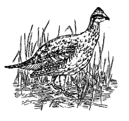
Native Americans, used this land very successfully for many hundreds / thousands of years for various sources of food especially the blueberries, but many other animals and plants. Remember this area even had buffalo and elk on the land. It was more open land in many areas because the sandy soil does not promote dense forests BECAUSE of 2 ingredients: the sandy soil is quite dry and Fire! The Natives learned that recurrent fire promoted the blueberry successes.
This is the small broken porcelain salt shaker piece I found. I assume was broken and discarded in early 1900s or late 1800s. Probably a family treasure the family brought with them to the Barrens. Where was it made, one can only speculate? Europe even? Who knows. But it tells a little about the white settlers who tried to settle on this land and ultimately failed.

1938 Aerial view of the farm and site I found the salt shaker:

In this 1938 aerial photo we see the east west road is St Croix Trail Rd. It intersects with a smaller north south road, Gomulak Fire Ln. In the left lower corner you can see a small square boundary with a building in the center, Forest Home School (1906-1938). There is a old farm site in the upper center of the photo. That is where we found the broken salt shaker.
This is the website address for the 1938 aerial photos of Wisconsin.
https://maps.sco.wisc.edu/WHAIFinder/#7/44.750/-89.750
What is the Wisconsin Northwest Sands?
This is a map and description of the Wisconsin Northwest Sands. 1,956 square miles (1,251,723 acres) of land surface are within the Northwest Sands Ecological Landscape. This is 3.5% of the land area of the State of Wisconsin. The depth of sand in this area varies from 100-600ft deep. The actual landscape varies depending on Glacier kettle changes, to small marshes to streams that cross the Sands area. So the variety of landscape habitats within the Northwest Sands area is tremendous. Also remember that fire in the old days and within the preserved areas today is a very important ingredient to this habitat. Think of Fire as Renewing the land! Animals and plants are often unique to the Barrens habitats within the Northwest Sands. The Namekagon Barrens Wildlife Area is one of those preserved Barrens habitats within the Northwest Sands.

This site below is a group of maps for the Wisconsin Northwest Sands habitat.
https://dnr.wi.gov/topic/landscapes/index.asp?mode=detail&Landscape=13
Also if you want to educate yourself about the amazing ‘habitat’ of the Northwest Sands check out Chapter 17 of “The Ecological Landscapes of Wisconsin”.
https://dnr.wi.gov/topic/Landscapes/documents/1805Ch17.pdf#view=Fit
The website address for all of the Wisconsin Landscapes can be found at the address below.
https://dnr.wi.gov/topic/landscapes/index.asp The Ecological Landscapes of Wisconsin publication is available online, in CD format, and in limited quantities as a hard copy. Individual chapters are available for download in PDF format through the Wisconsin DNR website (http://dnr.wi.gov/, keyword “landscapes”). The introductory chapters (Part 1) and supporting materials (Part 3) should be downloaded along with individual ecological landscape chapters in Part 2 to aid in understanding and using the ecological landscape chapters. In addition to containing the full chapter of each ecological landscape, the website highlights key information such as the ecological landscape at a glance, Species of Greatest Conservation Need, natural community management opportunities, general management opportunities, and ecological landscape and Landtype Association maps (Appendix K of each ecological landscape chapter). These web pages are meant to be dynamic and were designed to work in close association with materials from the Wisconsin Wildlife Action Plan as well as with information on Wisconsin’s natural communities from the Wisconsin Natural Heritage Inventory Program.
Mark Nupen
Board member of Friends of the Namekagon Barrens Wildlife Area
Thanks for doing this.