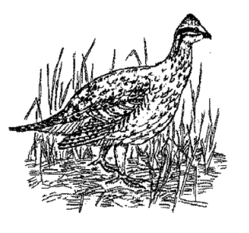
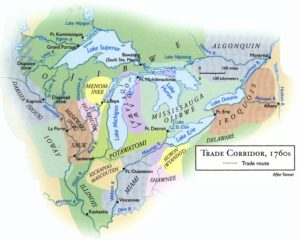
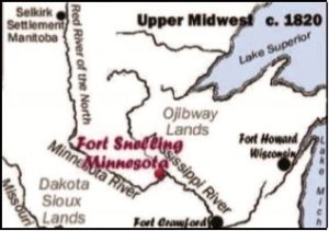
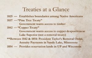
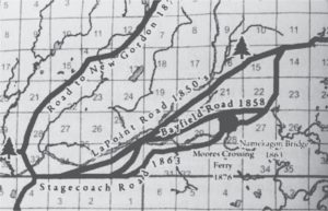
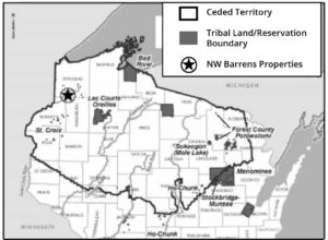
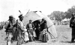
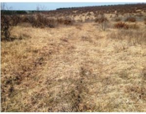
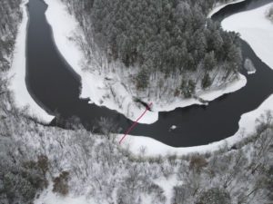
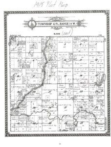
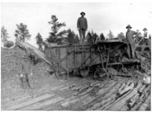
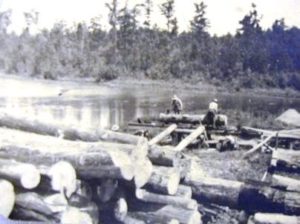
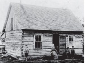
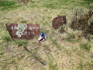
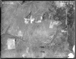
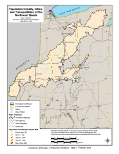
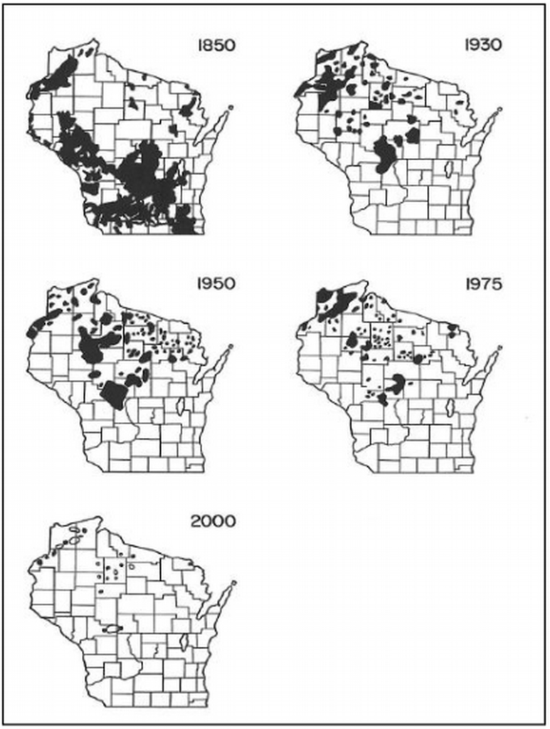
Trade Corridor and Native territories around the Great Lakes in the 1760’s.St. Paul to Lake Superior MapMap Showing the Ceded Territories & Member Tribes ~ Great Lakes Indian Fish and Wildlife CommissionTreaties 1825 through 1854Detail showing “Road to New Gordon”. (This map also shows the location of the Namekagon Bridge where Edward Gordon was postmaster in the 1860’s.)The Northwest Barrens properties lie within the Ceded Territory of the state and are located near the St. Croix and Lac Courte Oreilles Bands of the Lake Superior Ojibwe, also known as the Chippewa.Ojibwe people standing by a bull rush wigwam, c.1910. ~ Photo Minnesota Historical SocietyView of the Old Wagon Trail on the South Unit Namekagon Barrens Wildlife Area ~ photo Brian FinstadPhoto of Bridge for Stagecoach Trail 20211915 Blaine Plat MapNavy bean threshingLogging on the St. Croix RiverDr. Aker Family Outside Their Cabin in Burnett County ~ UW-River FallsAnderson family plot, located near NBWA. ~ photo Mark Nupen1938 Aerial photo of Namekagon Barren Wildlife Area’s North UnitWilliam and Mary Clemens farm, South of Rand CreekDistribution of Sharp-tailed Grouse in Wisconsin from 1850 to 2000 (Gregg and Niemuth 2000)