Almost everything associated with the Namekagon Barrens Wildlife Area (NBWA) in northwestern Wisconsin has to do with sand: the scrub oaks, jack pines and blueberries; the frequency of fires; the failure of early 20th Century farming. Sand that is hundreds of feet thick in places covers the landscape.
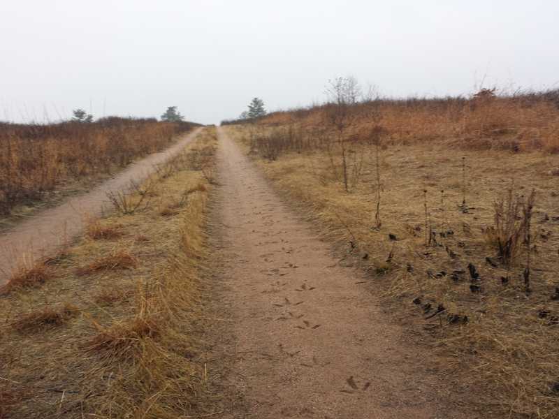
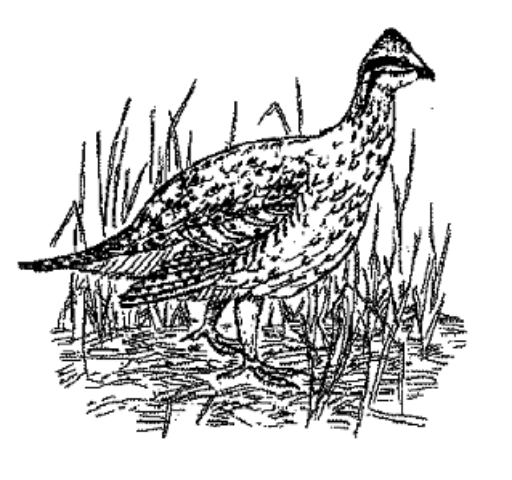
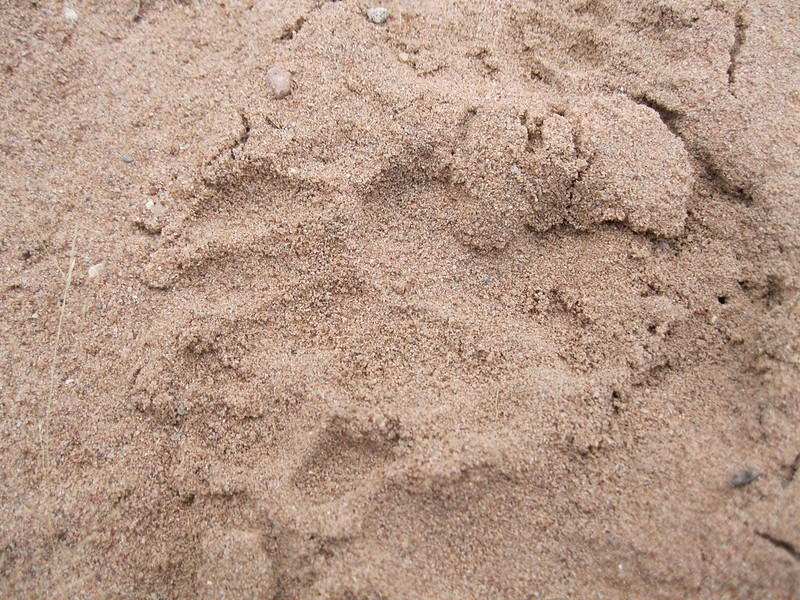
When rain and snow fall, water drains quickly through the sand, leaving the land prone to fire. Native Americans burned the area to improve their blueberry harvests, but the sand is poor in nutrients, and 100 years ago it left homesteaders unable to make a living from their small farms. Today, wolves, wild turkeys and sharp-tailed grouse leave their tracks in the sand of this ecologically rare and threatened landscape.
Why is the sand here?
Before the Sand
Long before the sand arrived, more than a billion years ago, this land was part of a cataclysmic event known as the mid-continent rift. North America almost came apart, and for millions of years lava spilled out and spread. It cooled and shrank and became the basalt you can see at Amnicon Falls and Pattison state parks.
Sediment washed in from surrounding high ground, cementing into sandstone atop the basalt. From this rock were built the “brownstone” churches and government and commercial buildings of northern Wisconsin and Michigan.
It is on this “basement” that the sand of the barrens sits. And compared to the basalt and the brownstone, the sand is a very recent arrival.
Glacial action
Some 22,000 years ago, the last glaciation in North America was at its greatest extent. Ice more than a mile thick covered Canada and much of Wisconsin, and it ground southward over a large area of rock – granite and gneiss in the Canadian shield and the sandstone of the Lake Superior region, mixing and carrying sand southward. Then, even as this southward grinding continued over a vast region, the southernmost edge of ice started to melt northward from central Wisconsin.
Imagine the scene as that mass of ice shrank northward, tons of sediment-rich water pouring from it. Sand laid down in this way formed an irregular band roughly 150 miles long and 10 to 15 miles wide, the Northwest Sands.
This left a distinctive landscape, mostly a plain of sand called glacial outwash because braided, shifting streams of water carried it away from the glacier, sorting the sediment as it flowed. Geologists believe this band was created by two parallel “sub-lobes” of the glacier feeding it from both sides.
The land we walk today in the wildlife area was deposited about 14,000 years ago when the retreating glacier paused near what is now Solon Springs and Gordon, some five or 10 miles northeast of the wildlife area.
For a time, the streams draining the ice were blocked by another glacier in the west, and Glacial Lake Grantsburg formed temporarily. Fine sediment drifting to its bottom formed layers of silt and clay that today allow Crex Meadows near Grantsburg to retain rainwater and snowmelt more than the sandy Namekagon Barrens Wildlife Area.
Today
Most of the 10-square-mile NBWA consists of flat plains where outwash streams dumped their loads on the bedrock and glacial till below. These plains mainly are called “uncollapsed” because they remain as they were laid down. Precipitation drains through them quickly, leaving a dry, low-nutrient land suitable for scrub oak, jack pine and birds like the sharp-tailed grouse and other dry-land species. It proved unsuitable for farming in the early 1900s and many families struggled to eke out a living before giving up in the 1930s.
In some places, such as the Burnett-Washburn county line in the NBWA’s north unit, sand covered blocks of ice that had broken from the glacier. When this buried ice melted, the flat ground “collapsed” into pits called glacial kettles that are now wetter than the surrounding plains. Depressions 20 or 30 feet deep let aspen grow and ducks and deer find shelter.
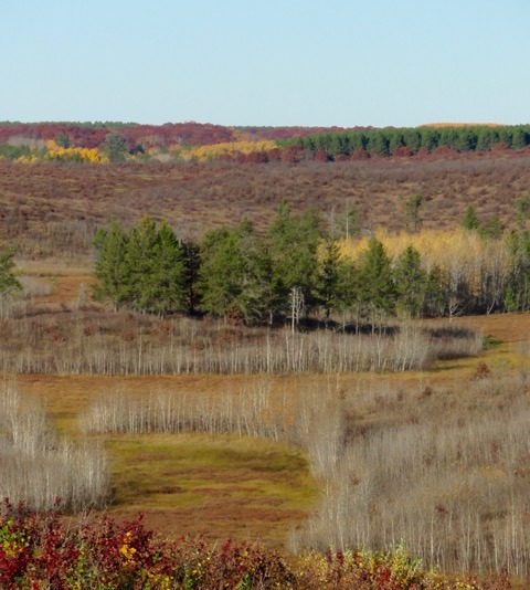
The hilly south unit of the NBWA formed differently. A ridge near Springbrook Trail stands about 100 feet above a bog. Sand here was thrust up and then deposited by the ice as it withdrew, not by streams, leaving a landscape of more hills. The bog stays wet and is still nutrient poor, but it supports sphagnum moss, many sedges, black spruce, tamarack and pitcher plants that find their nutrients in insects instead of the sand.
So even though the sand is everywhere in the barrens, it gives rise to a critical habitat that supports a variety of life systems.
Text and Photo by Dave Peters
For more information
— Download this page’s information as a printable brochure:
–“Northwest Sands Ecological Landscape,” produced by the Wisconsin Department of Natural Resource is a detailed look at the ecology and economy of the sands region. It can be downloaded from the DNR website.
–“Pleistocene Geology of the Superior Region,” published in 1984, is a detailed look by geologist Lee Clayton at the forces creating the Lake Superior region of Wisconsin. It is available from the Wisconsin Geolological & Natural History Survey.
–The Wisconsin DNR maintains on its website a description and maps of the Namekagon Barrens Wildlife Area and how it is managed to maintain a barrens ecosystem.
–The Friends of the Namekagon Barrens Wildlife Area promotes the area, helps organize use of the land and operates an on-line reservation system for viewing blinds to watch the spring mating dance of sharp-tailed grouse.