Location and Description
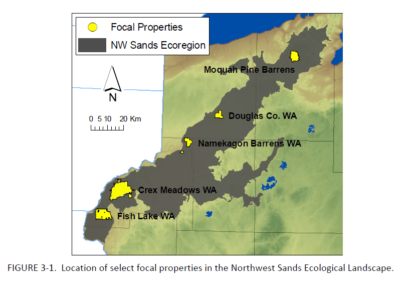
The Namekagon Barrens Wildlife Area (NBWA) is a 6,428-acre property located in the far northern portions of Burnett and Washburn Counties in northwestern Wisconsin, consisting of two units located a few miles apart. The north unit (5,732 acres) lies 7 miles east of Highway 35 on St. Croix Trail Road or 11 miles west of Minong. The south unit (696 acres) is 2 miles to the south and west of the North Unit along Namekagon Trail and Springbrook Trail. The total acreage amounts to 10 square miles, with 8.7 square miles in Burnett County and 1.3 square miles in Washburn.
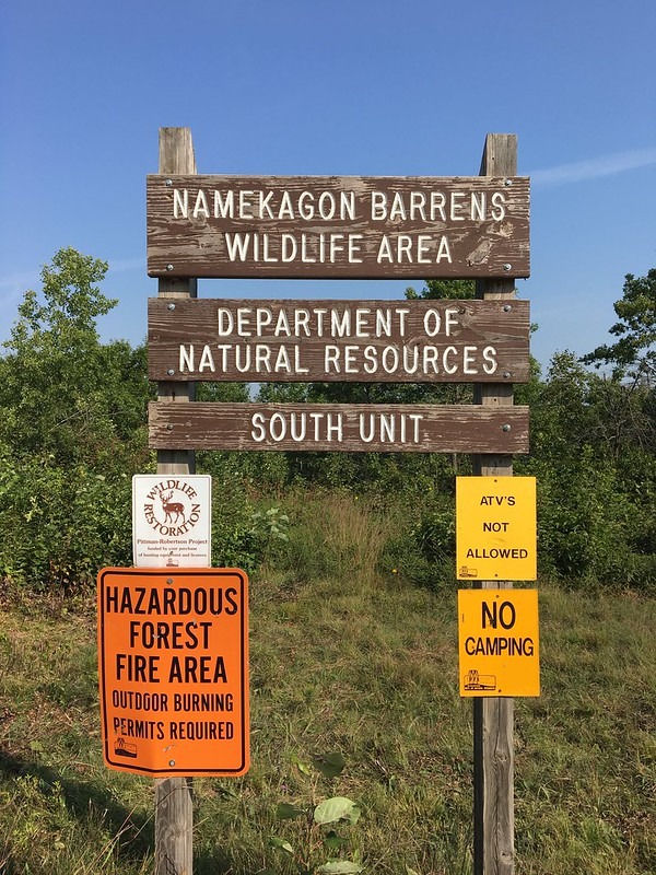
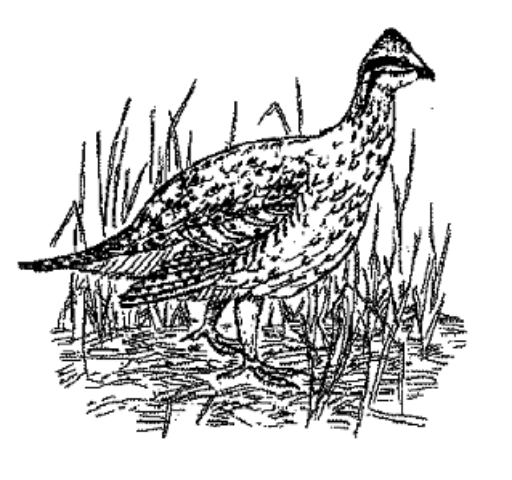
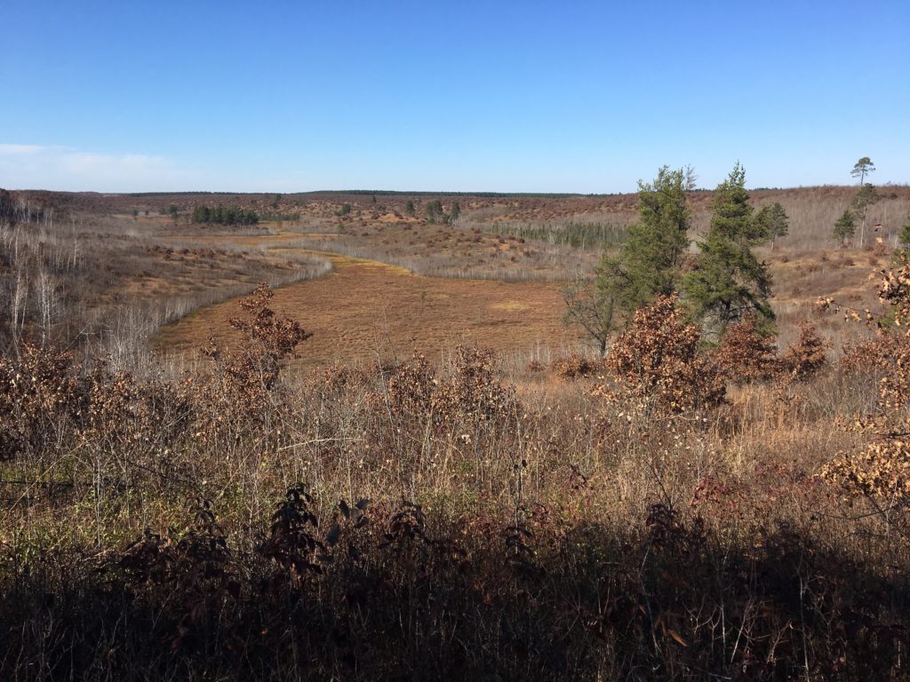
This property is owned by the State of Wisconsin and managed by the Department of Natural Resources for preservation of barrens habitat and species, and for education, recreation and enjoyment by the public. It is part of the Northwest Sands Area of northwest Wisconsin. This pine/oak barren habitat type is a fire-loving community that is globally rare and rich with diverse prairie flora and fauna. It is home to both rare and common wildlife species. Management of the property is guided by the goals of the Northwest Barrens Properties Master Plan developed by the Department of Natural Resources (with public input) and published in January 2017. Areas of open vegetation are maintained through prescribed fire and mowing to provide essential growing conditions for barrens plants and suitable habitat for birds and wildlife. There is also a rustic cabin and picnic shelter on the property at 33174 Gomulak Firelane and St. Croix Trail.
The surrounding lands are mainly county forest and industrial forests, and contain mostly jack pine, scrub oak, and red pine plantation forests. (Information borrowed from the Wisconsin Department of Natural Resources NBWA website). The region is noted for having very sandy, droughty soils. Prior to modern fire control techniques much of this area burned quite frequently either by acts of nature, such as lightning strikes, or was intentionally burned by humans. Early settlers frequently set fires to clear land for farming. Prior to this, Native Americans burned the region to attract game animals, stimulate blueberry production, control biting insects, and ease cross country travel. These frequent fires kept much of the landscape in a mixture of brush, prairie plants, and very short oak or pine.
Pine barrens covered 7% of the land, or 2.3 million acres, prior to the European settlement. Oak barrens covered 5%, or 1.8 million acres. As of 1995, approximately 10,000 acres of good quality pine and oak barrens remained at 65 Wisconsin sites. To date, the total estimate of remaining pine and oak barrens is 50,000 acres, but much of it is degraded. Most remaining pine and oak barrens exist as small, isolated fragments on approximately a dozen state- or federally-managed areas. These fragments may indicate that a larger area of the surrounding landscape has the potential to return to a barrens stage (information taken from Wisconsin Ecological Landscapes Handbook). Management plans and maps of the region showing other barrens properties are included in the links below.
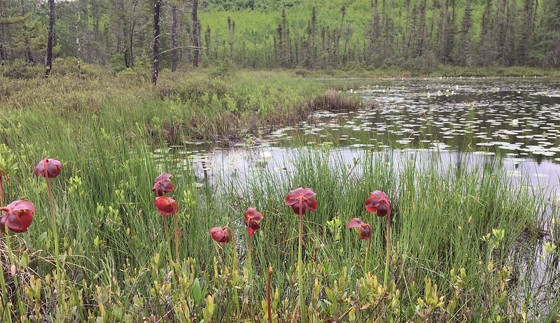
One of the Namekagon Barrens Wildlife Area’s most fascinating spots is the bog on the South Unit, a watery basin some 100 feet below the ridges along Namekagon Trail and Springbrook Trail. Hiking here provides an opportunity to find pitcher plants and sundews growing from the mat of sphagnum moss that covers much of the bog. Two trout streams, Beaver Creek and Clemens Creek, originate from springs on the north unit and flow to the nearby St. Croix River.
The St. Croix River flows within a mile to the west of the barrens while the Namekagon River lies between the two units. Both rivers are designated as part of the National Wild and Scenic Rivers System. The Totogatic River (a major tributary of the Namekagon) lies just east and south of the Barrens, and was designated Wisconsin’s fifth State Wild River in 2009.
Here are links to useful maps, brochures and documents about the Namekagon Barrens Wildlife Area:
Maps
Northwest Sands Ecological Landscape Map
Map of Key Northwest Wisconsin Properties Managed for Barrens
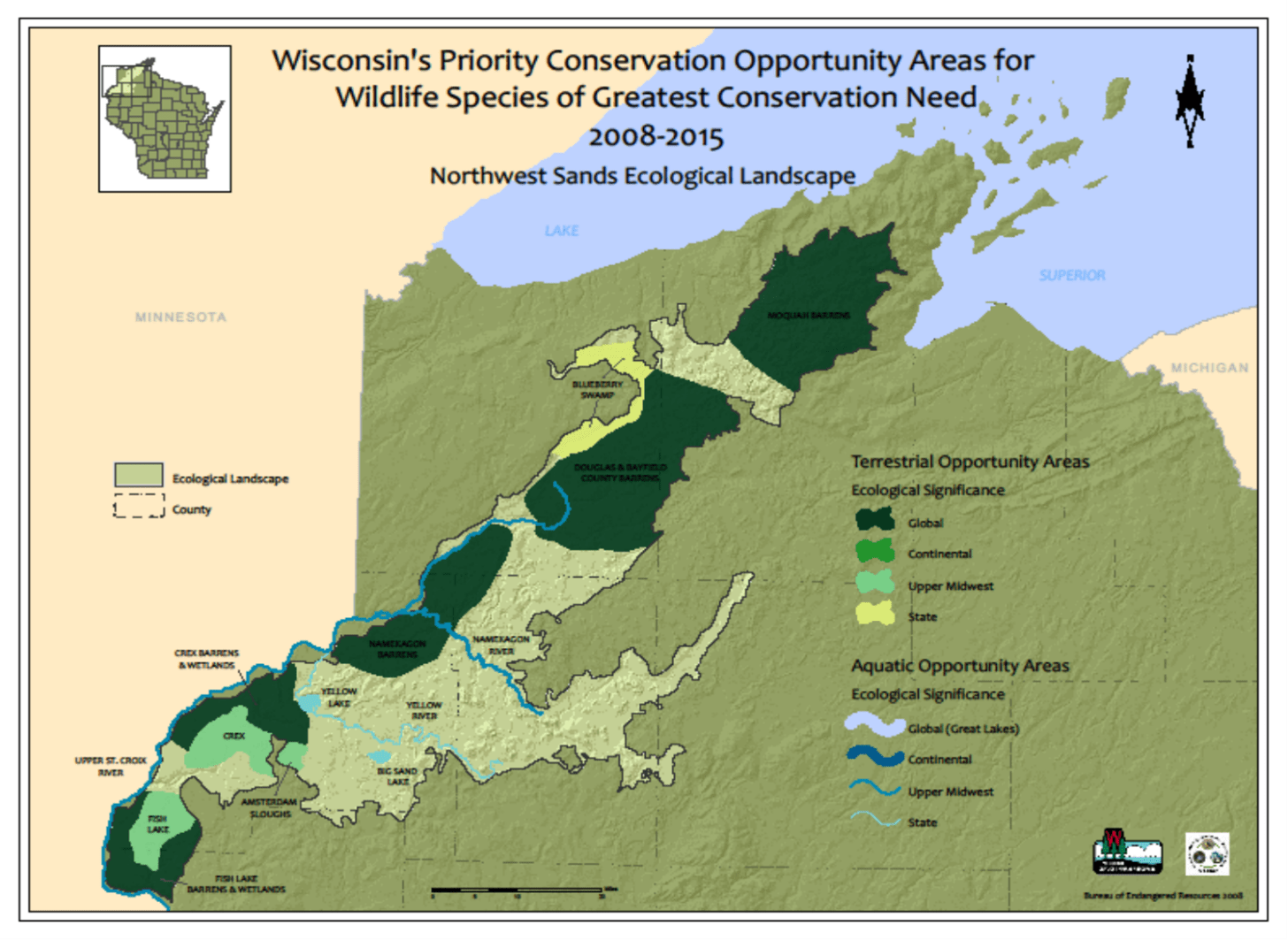
Map of Priority Conservation Opportunities Areas for Wildlife Species of Greatest Conservation Need
Barrens Brochures
Northwest Wisconsin Barrens: A Landscape of Global Significance
Friends of the Namekagon Barrens Brochure
Key Property Management Documents
DNR Namekagon Barrens Wildlife Area Webpage
DNR Namekagon Barrens State Natural Area Webpage
DNR Northwest Barrens Properties Master Plan
DNR Northwest Sands Regional Master Plan
DNR Northwest Sands Ecological Landscape Information