1863 Bridge Update
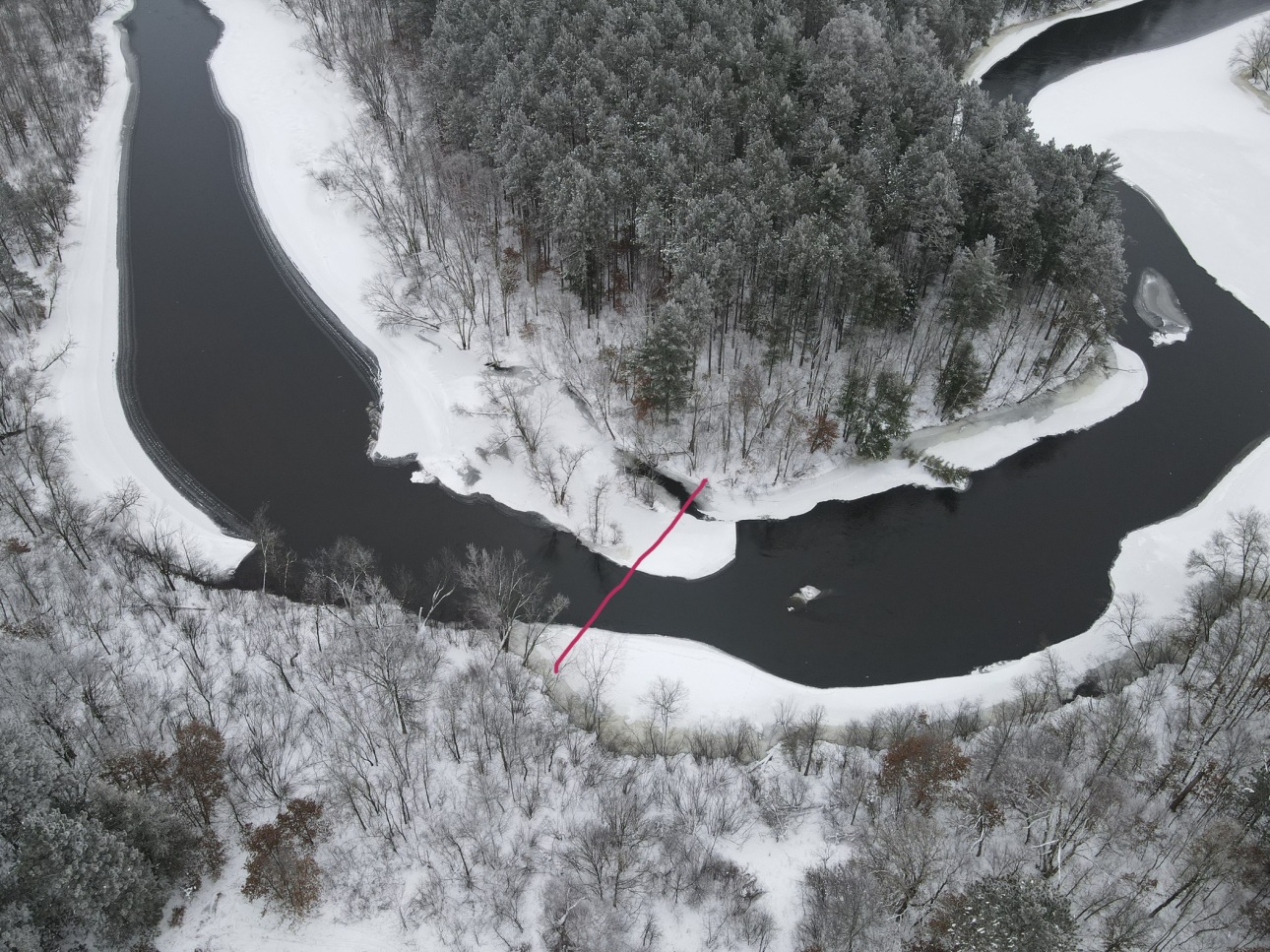
This is a photo taken with a drone camera of the sharp bend in the Namekagon River where the 1863 bridge was built and remnants still exist. It’s very near the south unit of NBWA, and one of the highlights of the area from a historical standpoint in the Town of Blaine.

The red line approximates the location of the old bridge. Notice how the small island was used as an abutment to shorten the span. The old stagecoach trail from St. Paul to Bayfield ran right through East Blaine, thus the need for the bridge. A book, written by Don Monson, retired DNR fellow from Spooner, is about this bridge and it’s a fascinating history. Title: “The Namekagon Bridge 1863 – 1941”.
Vern Drake,
FNBWA Board
